
Pre-qualification for WISPs
Stop wasting truck rolls on roofs you can't serve.
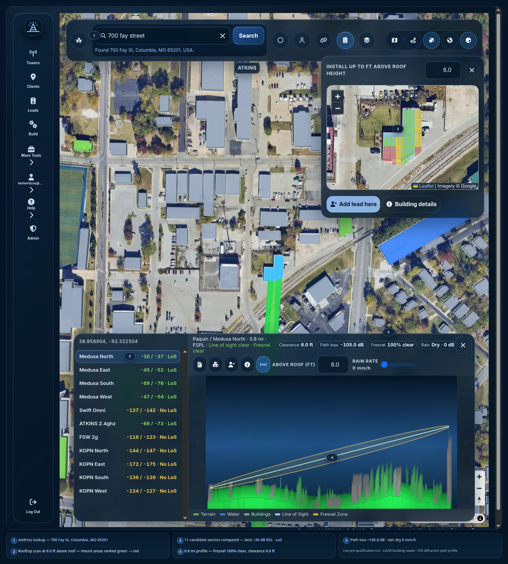
Pre-qualify from your desk: see usable roof areas, obstruction risk, which services work, and where to mount. If the answer is no, save the reason and revisit the lead when your network reaches it.
Free 30-day trial · unlimited towers · billing details required
One lead, one answer
Give the field team a clear yes, no, or not yet.
- 01Find the building
Search the address and select the right roof.
- 02Check the services
Compare paths, obstructions, and mounting areas before dispatch.
- 03Save the outcome
Keep failed leads and their reasons ready for the next network expansion.
A real pre-qualification
“It would have been a wasted trip.”
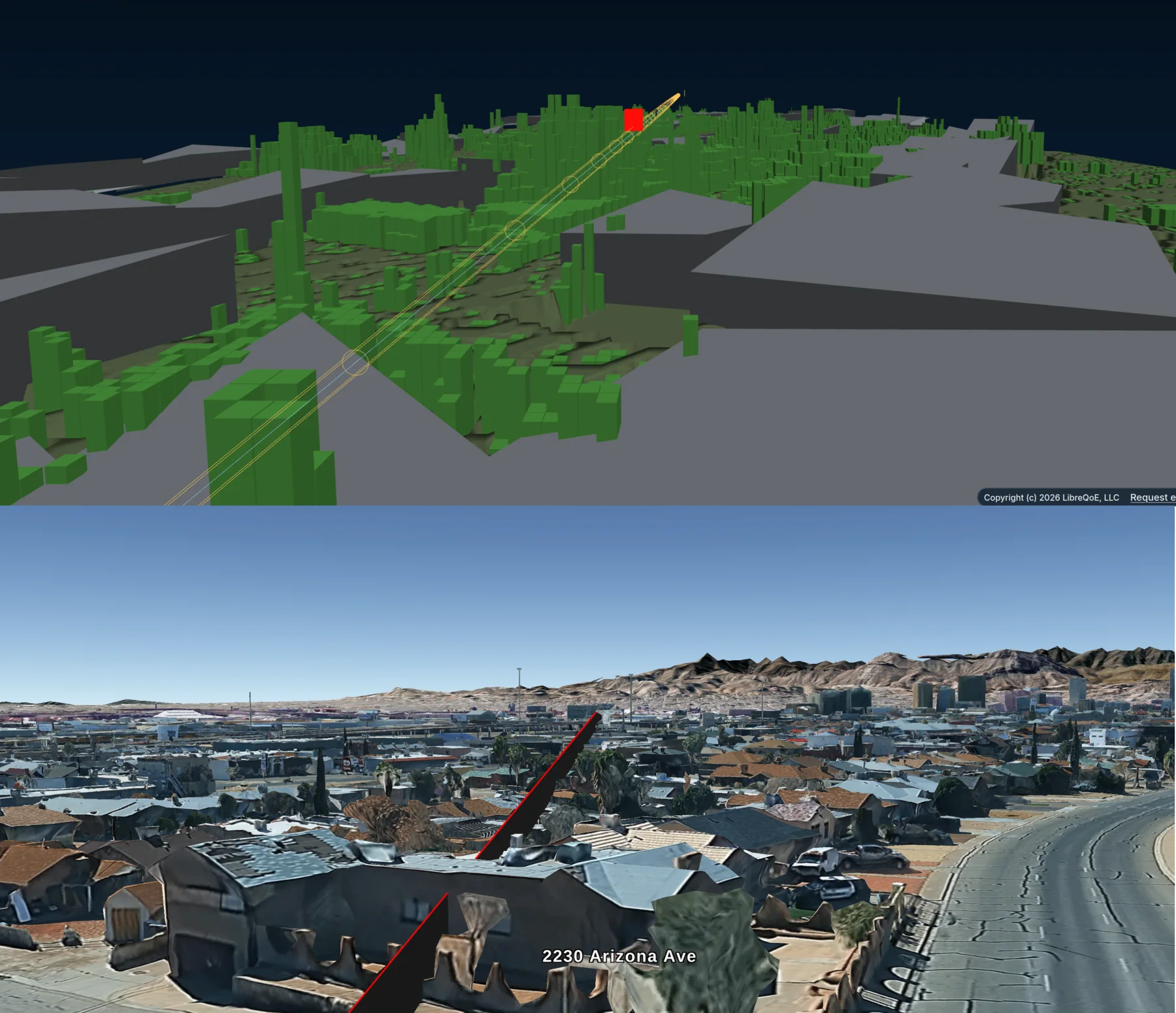
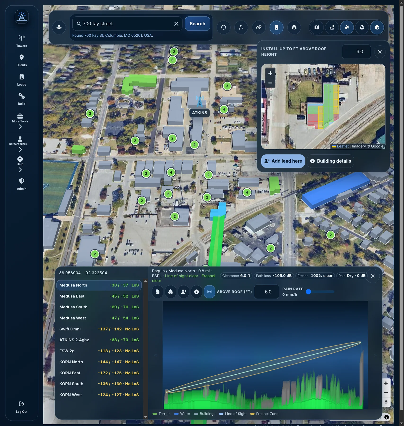
An El Paso operator used WISP Planner to check a customer path that looked plausible in Google Earth. The 3D terrain view showed trees clipping the Fresnel zone. A site visit confirmed that the install would have failed.
Network planning
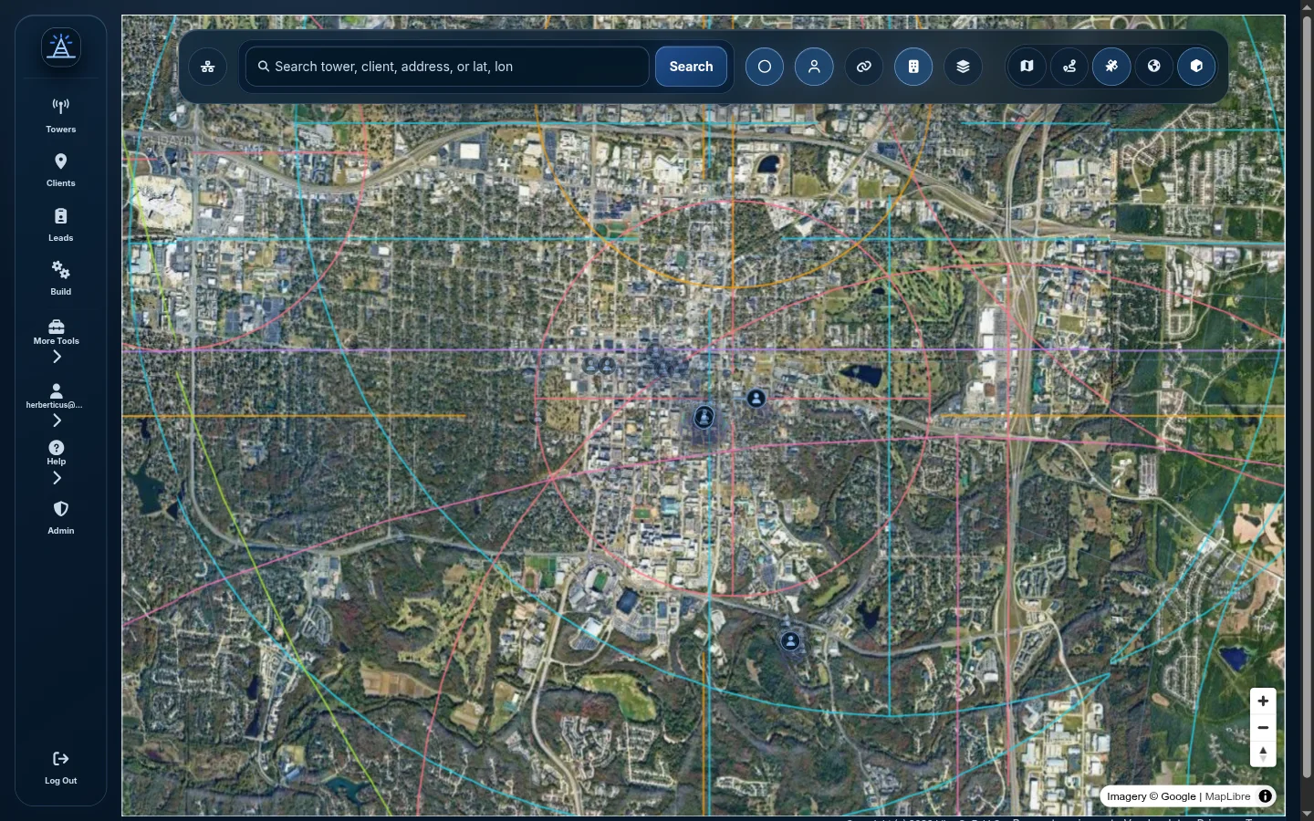
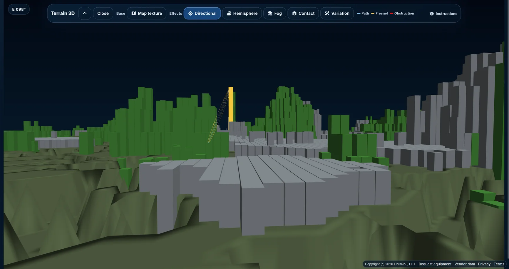
Use the same terrain engine for the whole network.
Place towers, inspect line of sight, review coverage, and trace paths through terrain, buildings, and vegetation.
Fit your stack
Start with the network you already operate.
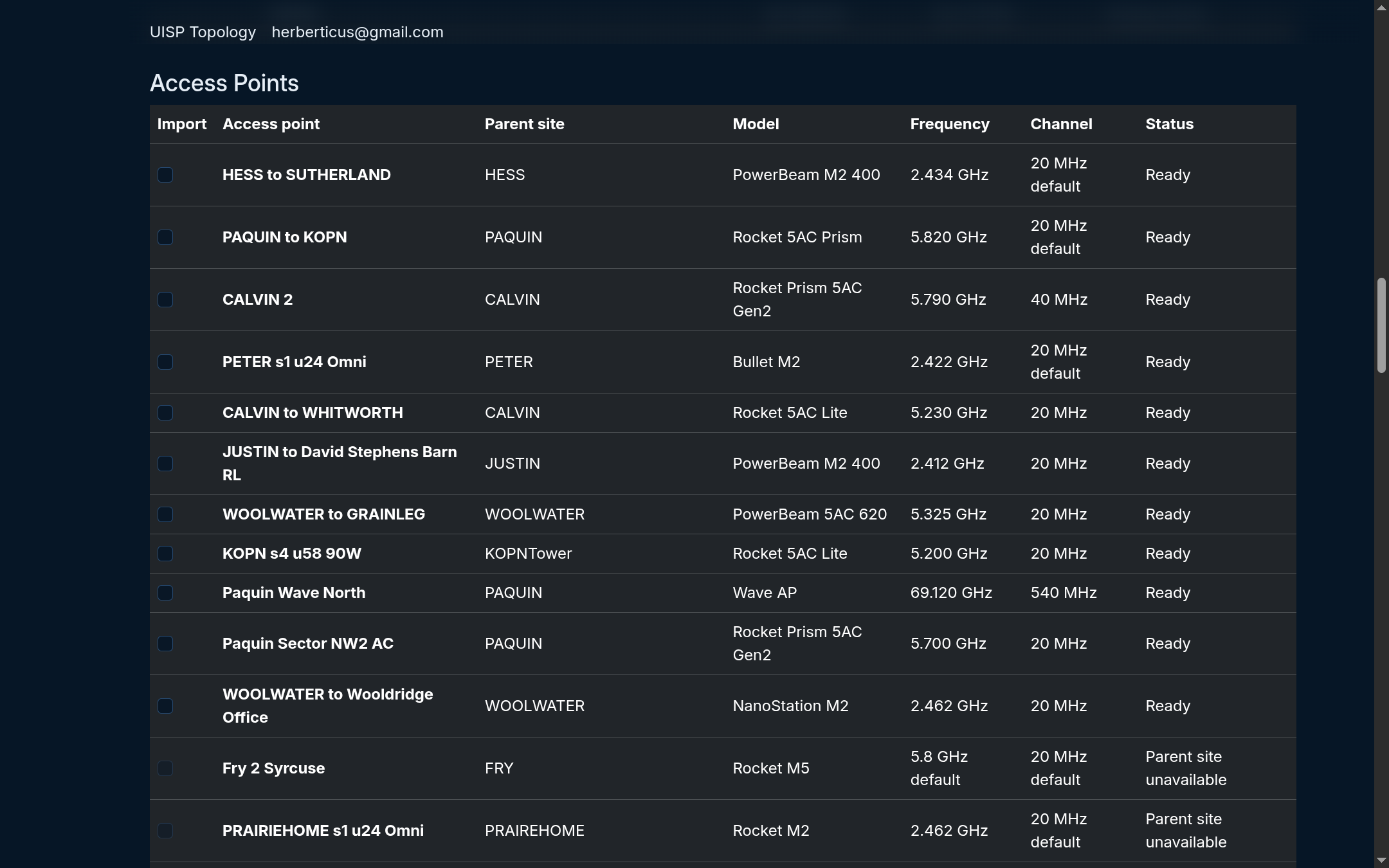
Bring in towers, frequencies, and clients from UISP, Splynx, and LibreQoS Insight. Use the API for the rest of your workflow.
Check before you pay
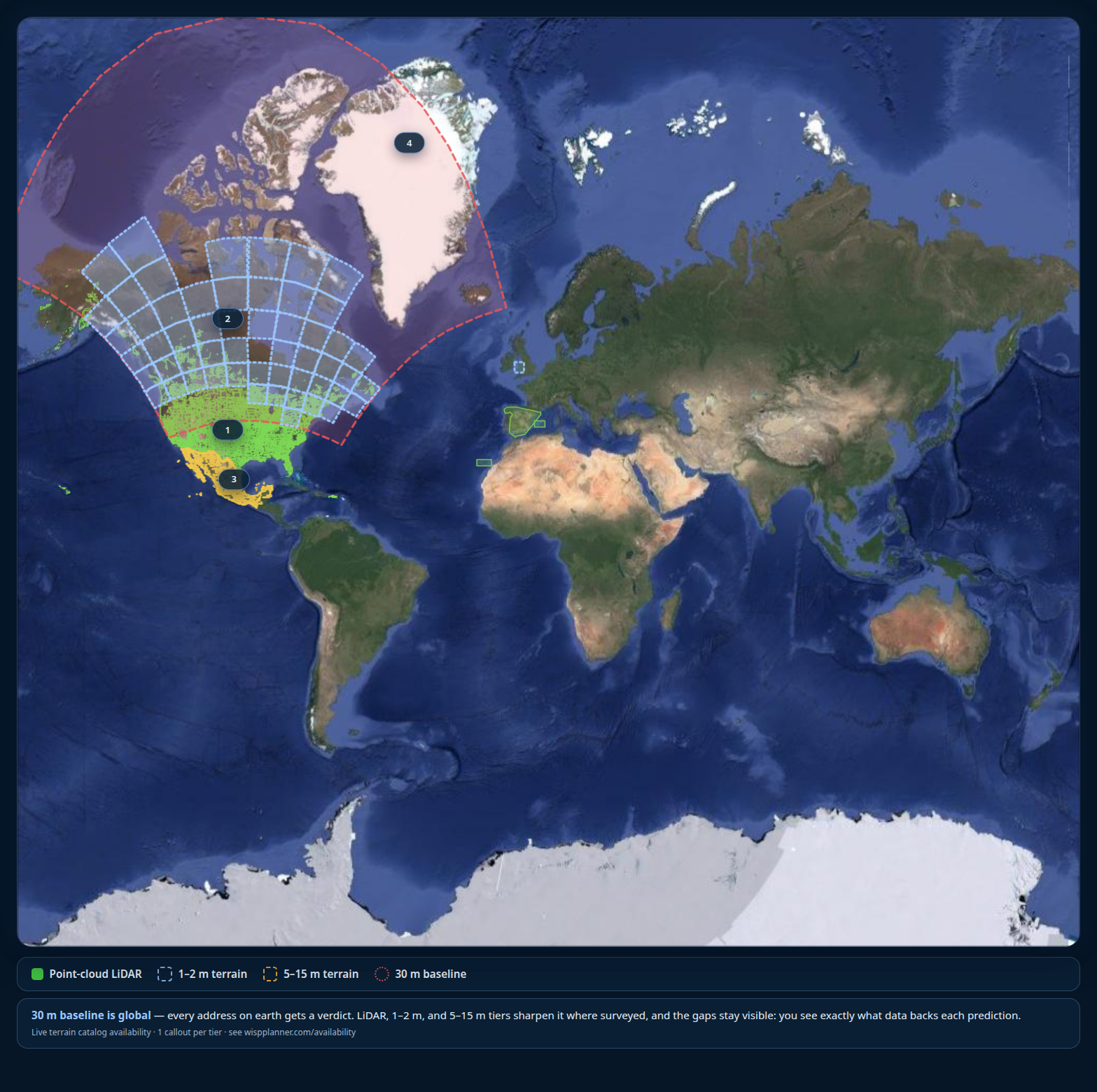
Search your service area.
See exactly which terrain quality covers your towers. Missing data stays visible.
Check terrain availabilityPay for what you use
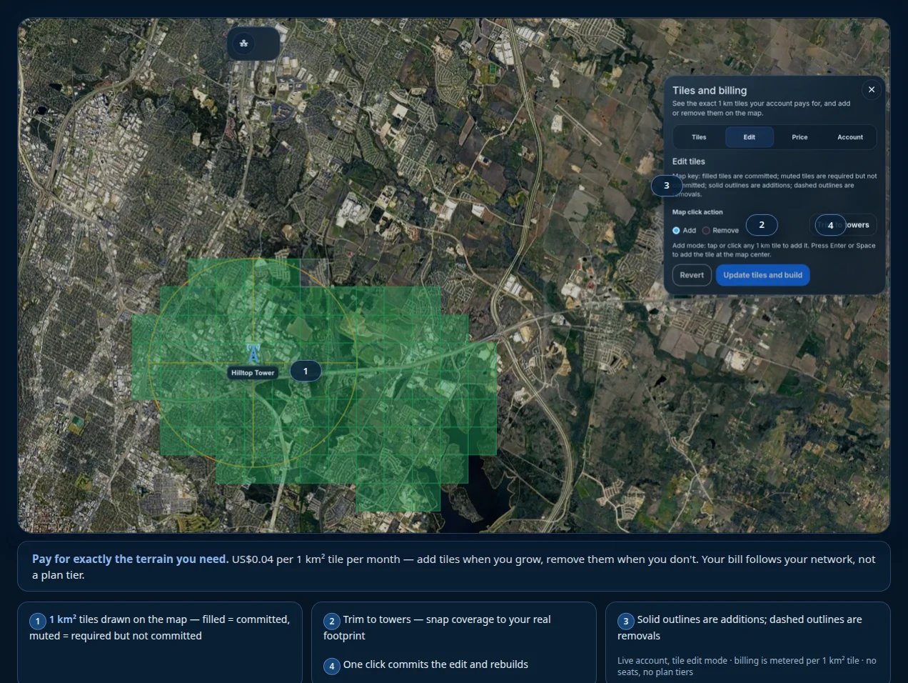
Your bill follows your network, not a plan tier.
After the trial, terrain costs US$0.04 per 1 km² tile per month, with a US$20 monthly minimum. Add tiles when you grow and remove them when you do not.
Built by WISPs, for WISPs
The rooftop is the job site.
WISP Planner is made by the team behind LibreQoS for the decisions between the customer call and the completed install.